Two Sites to See by Car
Before North Webster was a densely settled African-American neighborhood, there was a small settlement to the south and west located on Shady Avenue (now Kirkham). On your way to start the walking tour, stop and look at these two important historic sites from that community.
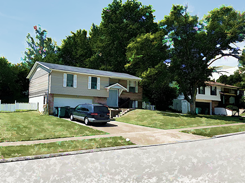
238 W. Kirkham Avenue
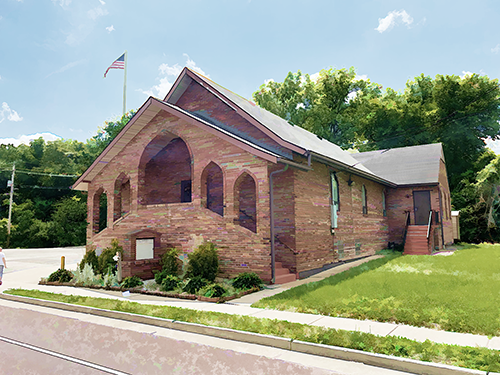
Old Community Baptist Church
500 West Kirkham Avenue
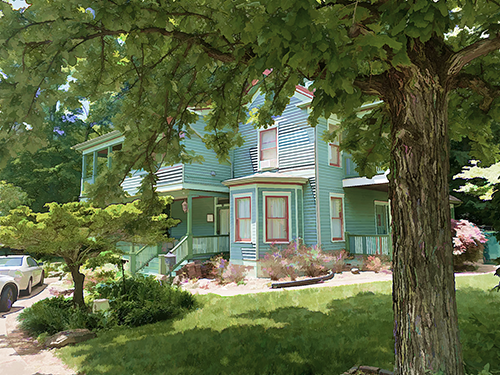
Emmanuel Cartwright House (1869)
Roger's Ice Cream Parlor
531-553 North Elm Avenue
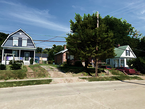
511 North Elm Avenue
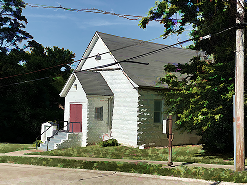
Blackwell Chapel AME Zion Church (c.1916)
12 Euclid Avenue (c.1909)
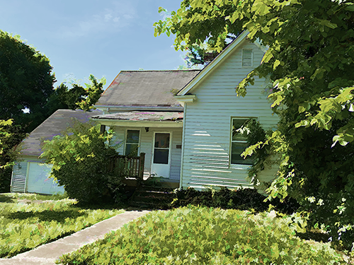
22 Euclid Avenue
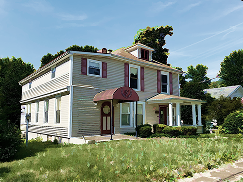
Lewis/Yandell Funeral Home (c.1909)
133 Euclid Avenue
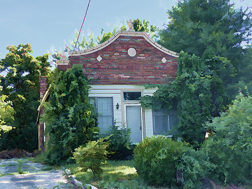
Tappel's Grocery Store (c.1928)
141 Euclid Avenue
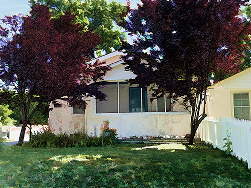
The Howell and Anna Goins House (c.1915)
142 Euclid Avenue
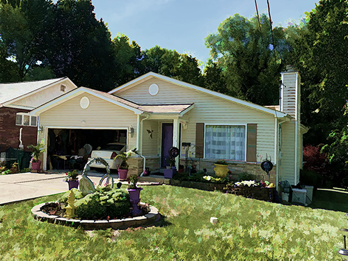
North Webster Coalition House (1996)
Rock Hill City Limits
The Webster Heights subdivision (platted in 1892) stretches three blocks west from Bell and covers Euclid, Eldridge, Madison, and the south half of Lithia Street. This is the only section of the neighborhood that is laid out like a grid with right angles, Before 1960, the City of Rock Hill had annexed the western two blocks of Webster Heights - blocks that had been traditionally white. Webster Groves later annexed the eastern block (between Bell and Plateau). In the years after 1950, the black population of North Webster began to extend west of Plateau.
676 Plateau Avenue
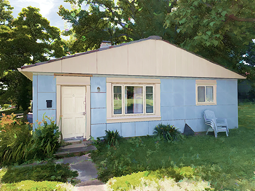
200 Eldridge Avenue
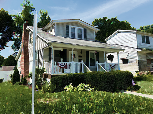
Baker's Store (c.1924)
200 Lithia Avenue
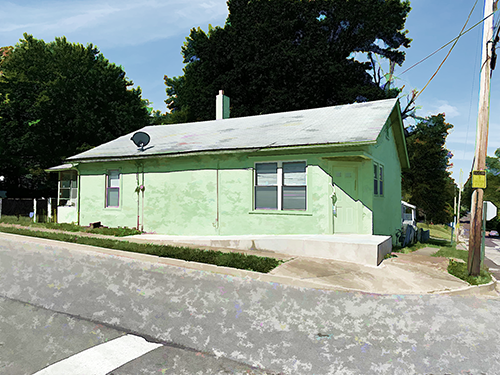
Schaefer's/Calvin's Grocery (c.1920)
129 Lithia Avenue
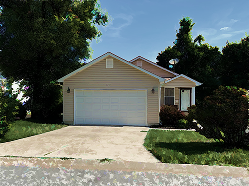
648 Bell Avenue
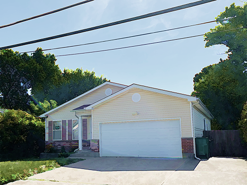
113 West Thornton Avenue (at Bell)
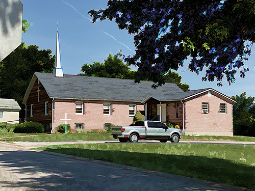
Sanctified Church of God in Christ (1928)
Ivory Crockett Park
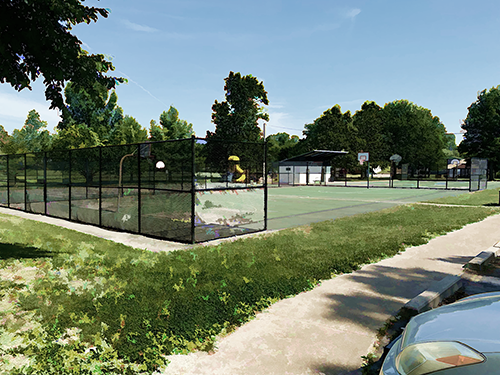
632 North Elm Avenue
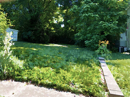
Elm Hills Farm and Dairy (site)
609 North Elm Avenue
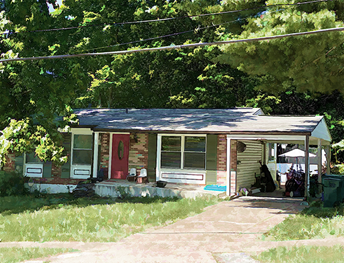
The Charles and Alby Thomas House (site)
709 North Elm Avenue (c.1923)
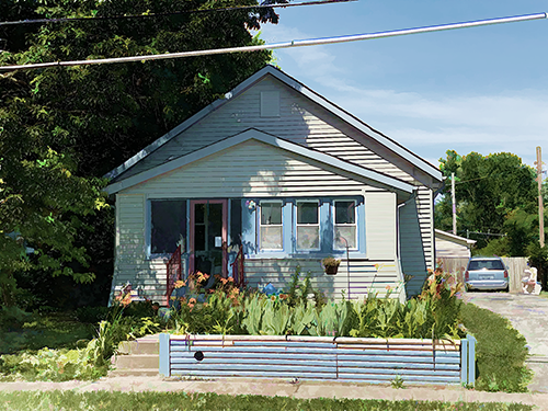
The Herbert and Lorraine Davis House
808 North Elm Avenue
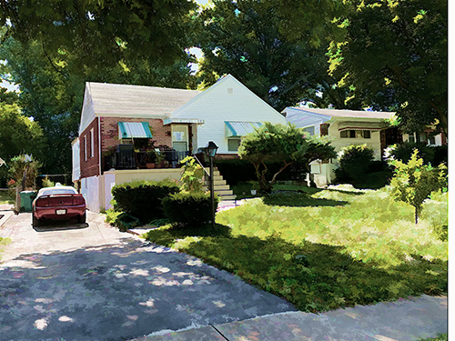
The Benny and Lorraine Gordon House (1946)
812 North Elm Avenue
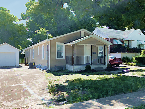
The Eugene and Georgia Crockett House (1928)
907 North Elm Avenue
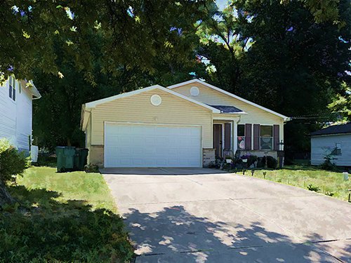
Piggy's (site)
921 North Elm Avenue
The Walter and Lucy Rusan House (site)
Waymire and North Elm Avenue
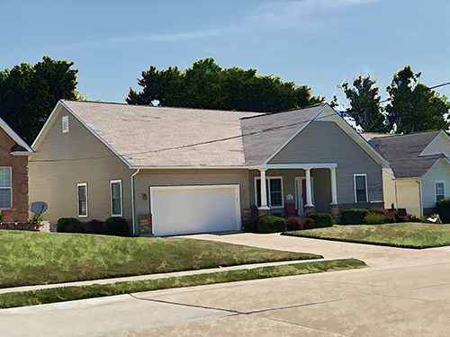
Dixon's Grocery Store and Gas Station (site)
915 Cornell Avenue
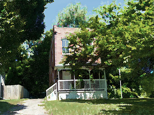
901 Cornell Avenue
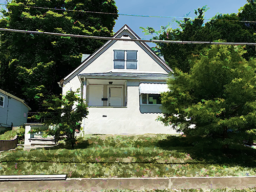
The Roscoe and Hattie James House (1932)
908 Cornell Avenue
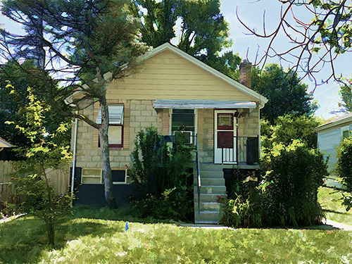
119 Willis Avenue
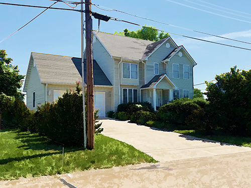
Webster Groves AME/Douglas Memorial CME (site)
Riverside Stadium
The Vendome
114 Willis Avenue
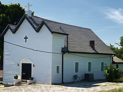
The Nazarene Baptist Church (1924)
Lorraine Davis Park
Shady Avenue (now Brentwood Boulevard)
3185 S. Brentwood Boulevard (c.1935)
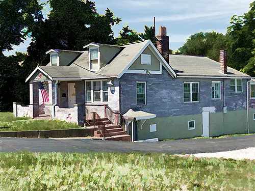
Dr. Reynolds and Dr. Rusan's Office
3201-3229 S. Brentwood Boulevard
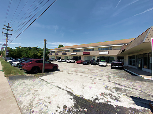
Kirkham Square (c.1966)
3239 S. Brentwood Boulevard
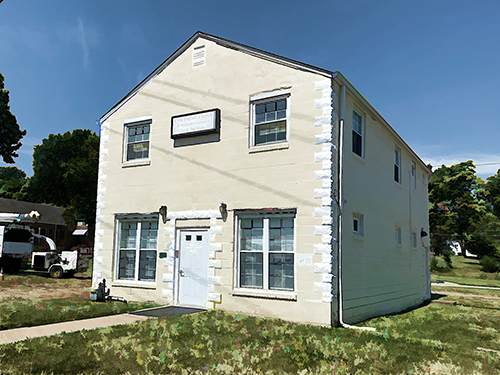
Masonic Lodge of North Webster (1950)
3251 S. Brentwood Boulevard
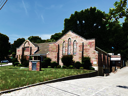
First Baptist Church (1927)
608 Holland Avenue
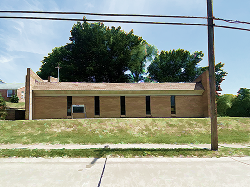
Parks Chapel AME Zion Church (1969)
608 Holland Avenue
North Webster YMCA (1944)
South side of Ravine between Holland and Cornell
